
Suisun City Street Directory by Address
Begin with one exact street address and keep every identifier that appears. The Solano County Assessor turns an address or APN into a parcel clue, while ReGIS shows its shape and neighbors. An owner name, when lawfully available at the Assessor counter, starts the Recorder search. Deeds establish transactions; the voter file and reverse directories answer narrower questions about registration or past occupants.
- Run the address or APN through the Solano Assessor property search. Save the APN, situs, and exact spelling. Omit a street type or direction when a query is too exact.
- Use the APN with the Assessor Research Area when an owner name is needed. Owner names are not posted online or provided by phone under Government Code §7928.205. The Research Area is 675 Texas St., Suite 2700, Fairfield, Monday through Friday, 9 a.m. to 4 p.m.; call 707-784-6210 for procedure.
- Search the Recorder by party, recording dates, and document type. Follow the grantee’s acquisition deed to the grantor, then search that earlier party as grantee. Match the legal description or APN against same-name results.
- Use voter information only for an approved California election, scholarly, journalistic, political, or governmental purpose. Ordinary visitors cannot browse registered voters street by street.
- Finish with a criss-cross directory or confirmed historical address source for an earlier occupant or business. Treat it as dated evidence, not a current household list.
The trail is address to parcel, parcel to owner, owner to deed chain, then limited registration or historical evidence. That sequence keeps a Suisun City street directory useful without treating one record as proof of every fact about a person.
Suisun City Street Directory Records
Address-keyed records in Suisun City are split among Solano County, City Hall, election custodians, and historical collections. One street can appear as an Assessor parcel, a ReGIS polygon, a Recorder party, and a permit site address. The table separates what each source can show.
| Record Set | Keeper | Street or Address Evidence | Access Channel |
|---|---|---|---|
| Assessment parcel | Solano County Assessor | APN, situs, parcel traits, and owner or mailing clues where lawfully available | Address/APN portal, Research Area, counter, phone procedure |
| GIS parcel map | Solano ReGIS | Parcel polygons, adjacency, road centerlines, boundaries, layers, and physical fields | Public viewer, rectangular select, map-extent table |
| Deeds and liens | Solano County Recorder Division | Grantor/grantee, document type, recording date, number, and legal chain | Free index from 1955, office research, paid copies by mail or counter |
| Permit history | Suisun City Building Division | Site address, APN, work, owner, applicant, contractor, dates, valuation, and fees | EnerGov, 2022 reports, counter, email, phone, or focused CPRA request |
| Voter file | California Secretary of State and Elections custodians | Registration fields only for an approved statutory purpose | Restricted request; no public street browse |
| Polk and Cole address checks | Local study, library, or genealogy holdings | Dated occupant or business entries by street and number | Confirmed editions and research inquiries |
The APN bridges an Assessor parcel, GIS feature, permit row, and recorded instrument, while the street name organizes a block. The bridge has limits: a deed has no address search field, a permit participant is tied to past activity, and a directory occupant may never have owned the parcel. Compare identifiers, dates, and roles.
Search Suisun City Parcels by Address
The Solano County Assessor property portal accepts an APN or street address, making it the first live parcel check. Less information broadens the search. Leave out a type such as ST, AVE, or LN and a direction such as N or W when a full query misses.
| Search Field or Control | Type | Required | Format and Use |
|---|---|---|---|
| APN or Street Address | Autocomplete or text | One search key | Enter an APN or street address; less information returns a broader set of matches. |
| Search or magnifying glass | Button | Yes | Submits the address or APN query. |
The portal is an address and parcel starting point, not an online owner-name directory. Solano’s Assessor says ownership information is not available online or by phone because Government Code §7928.205 restricts public posting by owner name. Use the Research Area at 675 Texas St., Suite 2700, Fairfield, Monday through Friday, 9 to 4; the procedure line is 707-784-6210.
The portal screenshot shows its narrow but useful role in a Suisun City street directory: establishing the parcel identifier for GIS and the Recorder workflow. View the official Solano Assessor address search first.
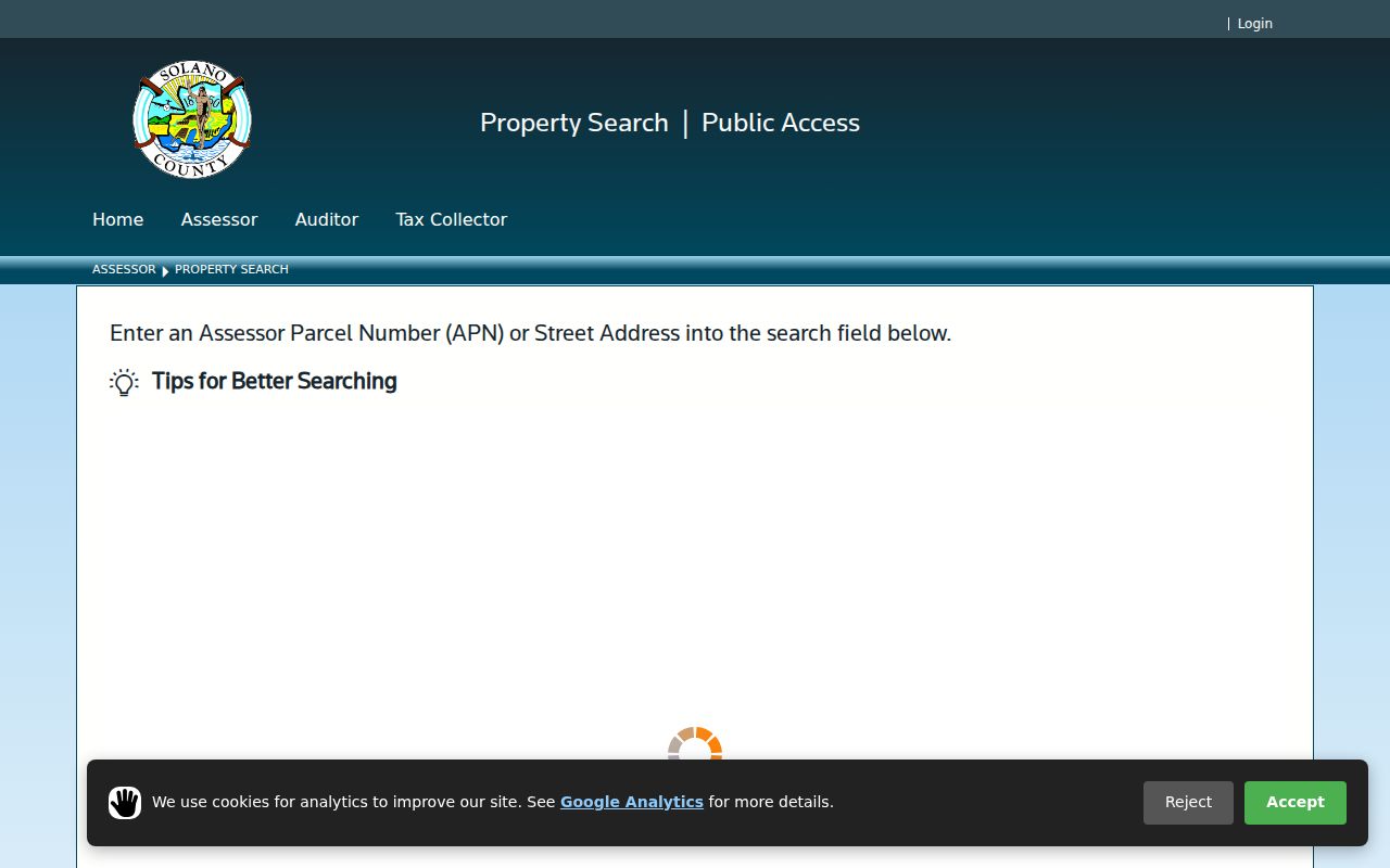
Save the exact address wording and APN. Ownership questions go to the Research Area; parcel matching can continue online.
Read a Suisun City Street in ReGIS
The Solano GIS parcel viewer follows the APN step. Its search accepts a partial address or an APN without hyphens and returns up to six suggestions. For a long street, zoom to the block instead of forcing every result into one query.
Turn on Parcels, Road Centerlines, and the City-County boundary. Choose Select, draw a rectangle across the block, and open the map-extent Attribute Table. It can show 25, 50, 100, or up to 1,000 rows, with sort and filter controls. There is no radius or buffer search and no export. A parcel can show APN/PIN, roll year, acreage, subdivision, use, year built, physical fields, values, districts, zoning, and coordinates, but no owner or mailing name.
ReGIS is map context, not a certified deed or resident list. Aerial layers from 2004, 2008, 2015, 2017, 2019, 2021, and 2022 can show construction change. Keep the APN, situs, and map date, then use the Assessor or Recorder for identity-bearing questions.
Open the Solano ReGIS applications hub to reach the county map tools shown below.
Rectangular selection keeps the visible block, not an invented radius, as the street directory’s unit of review.
Note: The attribute table is a map-extent tool, not a street-radius search, and it does not export a resident list.
Suisun City Street Clues Are Separate
An Assessor situs address identifies where the parcel sits. A mailing address routes tax correspondence and may point elsewhere or to a post office box. Neither proves who occupies a structure. Label situs, mailing, service, filing, and historical directory addresses instead of blending them.
A legal description is the durable property reference inside a recorded instrument. It can name a lot, tract, subdivision, or other recorded reference after a postal name changes. A plat maps parcels, lots, streets, or easements. Together, they reconcile map, assessment, permit, and deed without turning a parcel match into a household claim.
Note: A map feature can show an assessed parcel without proving the people who use the structure or receive mail there.
Suisun City Street Deeds Need Party Names
The Solano official-records index has no address search field. The Recorder search FAQ points to grantor and grantee names, recording dates, and document types. A grantor conveys or releases an interest; a grantee receives it. Search both roles and compare the instrument’s APN or legal description.
The computer index reaches 1955 through the present; 1954 and earlier require the Recorder Research Area at 675 Texas St., Suite 2700, Fairfield, open 9 to 4. Online metadata identifies party, type, date, and document number, but an image or certified copy supplies the legal description. Check a lien against a release or reconveyance.
Copies cost $9 for the first page, $1 for each additional page, and $5 for certification. Mail requests need title or type, party names, document number or book/page, recording date, return contact, payment, and a self-addressed stamped envelope. The office does not email documents. Call 707-784-6290 for procedure, not ownership verification.
Read the official Recorder search instructions before opening the example. The screen shows why an address must become a party name.
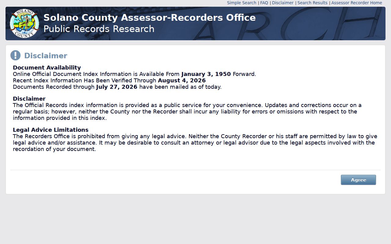
Keep role, date, document number, and legal description together. That bundle separates one transaction from a same-name result.
Suisun City Street Permits
Building permits add municipal work history to the parcel chain. The City’s Tyler EnerGov self-service portal is the current route, while the Building Permit History page publishes monthly reports. Current coverage and exact portal labels remain a research gap.
January through November 2022 reports can include activity or permit number, type, subtype, status, APN, creation date, square feet, site address, work, owner, applicant and phone, contractor and phone, use class, inspection area, valuation, fees, and balance. Each row is point-in-time activity. Its “owner” is not automatically a current occupant, and a missing result does not prove no older permit exists.
When EnerGov does not answer, contact the Building Division at 707-421-7317 or buildingpermit@suisun.com. The counter is open Monday and Wednesday, 9 to noon and 1 to 5; Tuesday and Thursday by appointment; Friday closed. For a date range or record description absent online, use the City’s California Public Records Act request channel or mail fallback. Name the address, APN if known, date range, and desired fields.
Note: A permit participant is tied to an activity date and should not be treated as a current occupant.
Suisun City Street History by Edition
Historical address tools help with past households, but verified Suisun City runs are discontinuous. The City study checked Walters Road in Polk editions for 1963, 1968, 1973, 1977, 1982, and 1987, then Cole editions for 1992, 1995, 1999, 2003, 2008, and 2013. Its absence in 1963 and 1968, followed by later checks, is a development clue, not proof of renaming.
Use the street heading, number, occupant or business entry, and cross streets as dated evidence. No official citywide renumbering year was located, so check an absent address against parcel history. Confirmed runs and brief McKenney background appear in the Suisun City historical directory book, which holds the collection detail.
Suisun City ZIP and Street Limits
ZIP 94585 is a postal territory, not a city boundary. It reaches incorporated Suisun City neighborhoods and rural or unincorporated areas east and southeast. A postal label may point to a property handled by the county rather than City Hall. Check the City-County boundary in ReGIS before choosing a custodian.
The Suisun City Post Office is at 325 Merganser Dr., 707-425-1334, with retail hours Monday through Friday, 9:30 to 5, and Saturday, 10 to 1. USPS confirms delivery; GIS confirms jurisdiction. Planning and Development Services answers boundary or city-address questions at 701 Civic Center Blvd., planning@suisun.com or developmentservices@suisun.com, 707-421-7333, with the same published weekday counter pattern.
Proposed annexation notices in 2024 and 2025 make the check timely, but a proposal is not a boundary change. Verify the current map and custodian, and record both ZIP and jurisdiction in a Suisun City street directory.
Suisun City Street Voter Limits
California My Voter Status is authenticated self-service, not a public name-and-address directory. A full voter file is released only for approved election, scholarly, journalistic, political, or governmental purposes under Elections Code §2194. Government Code §7924.000 closes street address, phone, email, precinct, prior-registration details, identifiers, and signatures from general disclosure.
An approved requester receives active voters in the base file; inactive voters are separate. Optional history shows election date, type, and voting method, never ballot choice. The fee is $15 per 1,000 records up to $100. The official request channel explains handling, while Elections Code §18109 makes knowing impermissible use a misdemeanor.
A street directory can note the restriction, but cannot turn a block into a public voter list. Protected public-safety voters and Safe at Home participants may be excluded or confidential. Aggregate precinct facts do not identify a person at an address.
Note: A missing name can reflect confidentiality, spelling, file status, or the limits of an approved release.
Suisun City Street Terms
Address research moves between map, tax, and deed language. These terms keep the parts distinct when several custodians feed a Suisun City street directory.
- Parcel
- A mapped unit of land tracked by an APN or PIN in Assessor and GIS systems. A parcel is not a household.
- Situs address
- The physical location assigned to the assessed parcel. It answers where land or a structure sits, not where tax mail is sent.
- Legal description
- The deed’s formal property description, often tied to a lot, tract, subdivision, or other recorded reference.
- Plat
- A recorded map laying out parcels, lots, streets, or related features and connecting a legal description to geography.
- Criss-cross directory
- A reverse directory arranged by street and number rather than only by name. It can supply dated occupant or business clues.
Suisun City Street Directory Limits
A complete address trail still does not list everyone who uses a property. ReGIS omits owner and mailing names. The Assessor keeps owner-name access at the Research Area. The Recorder has no address field. Permit rows describe past activity, voter files are restricted, and utility, delivery, DMV, and private household data are not a public street layer.
Use these sources for lawful property curiosity, family history, estate research, reconnecting, or civic understanding. Verify important results with the custodian and preserve date and role. Owner, grantor, applicant, mailing recipient, and historical occupant are different labels, even at one address.
Lawful personal use. Suisun City street and address records may support personal, family-history, property, or civic research. Do not stalk, harass, threaten, or intimidate anyone. California Penal Code §646.9 and Code of Civil Procedure §527.6 address qualifying criminal and civil harassment conduct, while Elections Code §18109 separately penalizes knowing misuse of voter data.